Topographical Applications and GPS Services
Our goal is the highly accurate mapping, delineation and technical documentation of the area, utilizing modern GPS technologies, in order to ensure reliability, legal validity and correct basis for each technical project or licensing process.


What are surveying applications and GPS services?
Surveying applications and GPS services involve the accurate measurement, mapping and delineation of land and plots using satellite positioning systems. They are an indispensable tool for building permits, transfers, land registry, licensing and technical works, in accordance with the current specifications.
Details
High-precision topographic impressions
Measurement of plots and fields with modern GPS equipment and geodetic instruments.
Engravings & field applications
Determination of property boundaries, location of buildings and technical works with centimetre accuracy.
Compilation of topographical diagrams
Creation of topographic diagrams for land registration and legal procedures.
We complete projects that combine
Ensure absolute accuracy
Reducing errors and future technical or legal issues.
Support complex technical procedures
From initial planning to project implementation.
They are a reliable basis for licensing & studies
Facilitating urban planning, cadastral and notarial acts.
Έργα που ξεχωρίζουν
Αντιπροσωπευτικά έργα με έμφαση στη μελέτη, την κατασκευή και τη λεπτομέρεια.

"Mirthea Suites"
A dreamy synthesis of two timeless elements, inspired by the traditional village of Myrthios and the magnificent panoramic view of the entire bay.

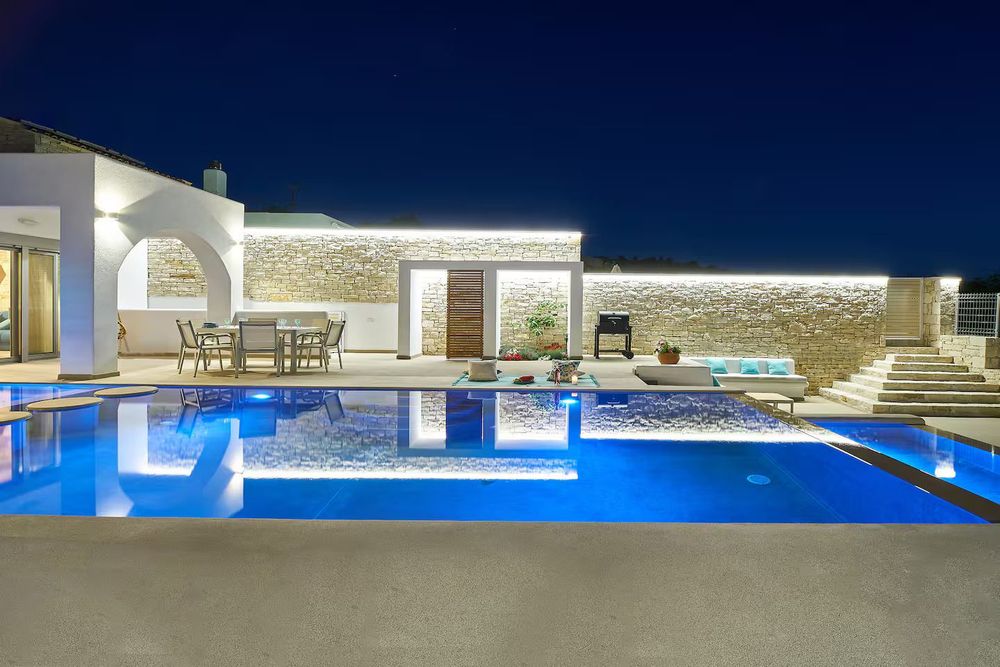
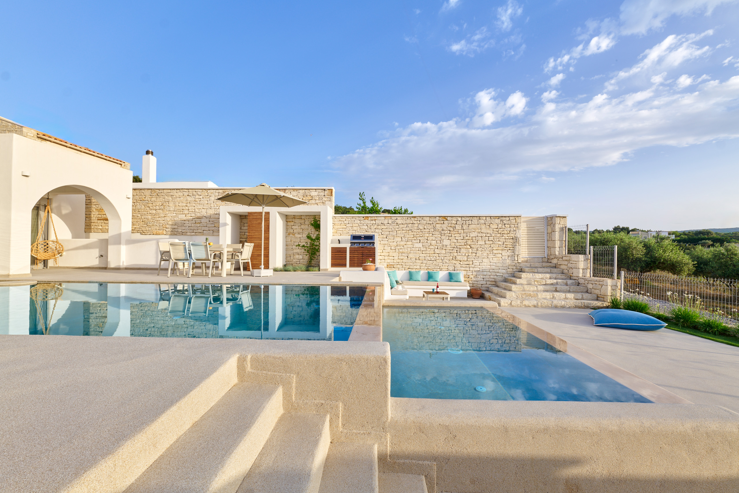
Villa "Endless Blue"
Villa Endless Blue in Skepasti offers ultimate luxury and privacy, with panoramic views of the endless Mediterranean Sea.
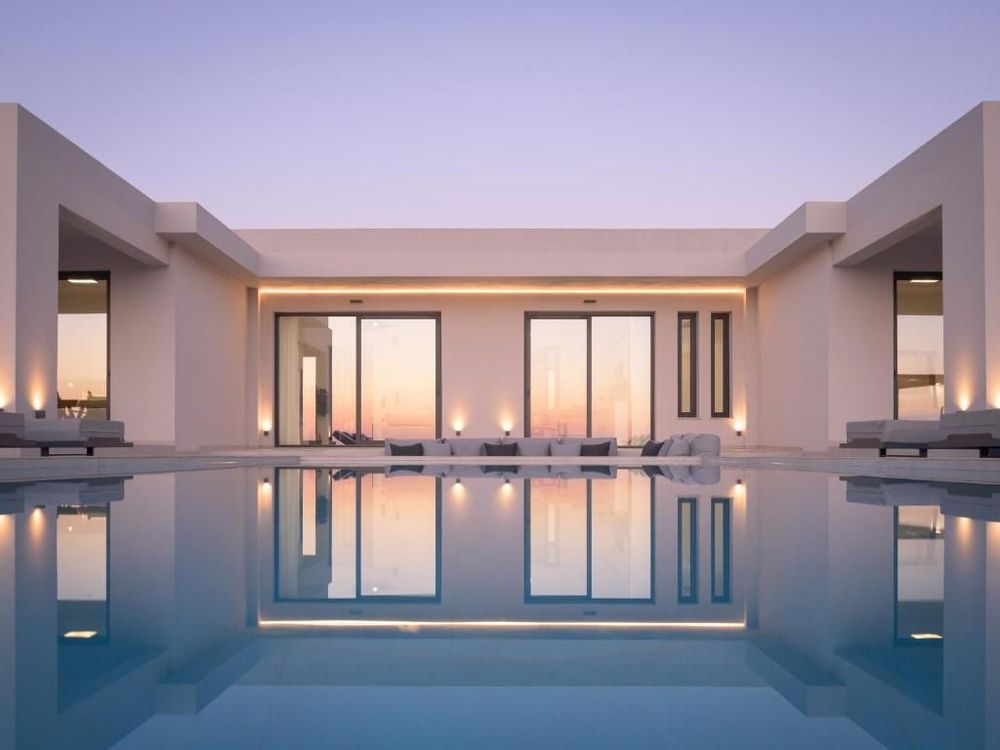
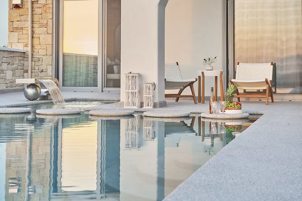
Aegean Sunset Villas & Spa "Villa Sea"
A haven of relaxation with private pool & spa designed for the ultimate accommodation experience.

Aegean Sunset Villas & Spa "Villa Sand"
Villa Sand is a tranquil holiday destination, where privacy meets authentic Cretan aesthetics, in an earthy environment of absolute relaxation and contact with nature.

"Villa Aeparéa"
The tourist villa offers absolute tranquility in a natural environment, with a swimming pool and well-maintained outdoor areas for relaxation, while the natural light, greenery and privacy ensure quality accommodation.
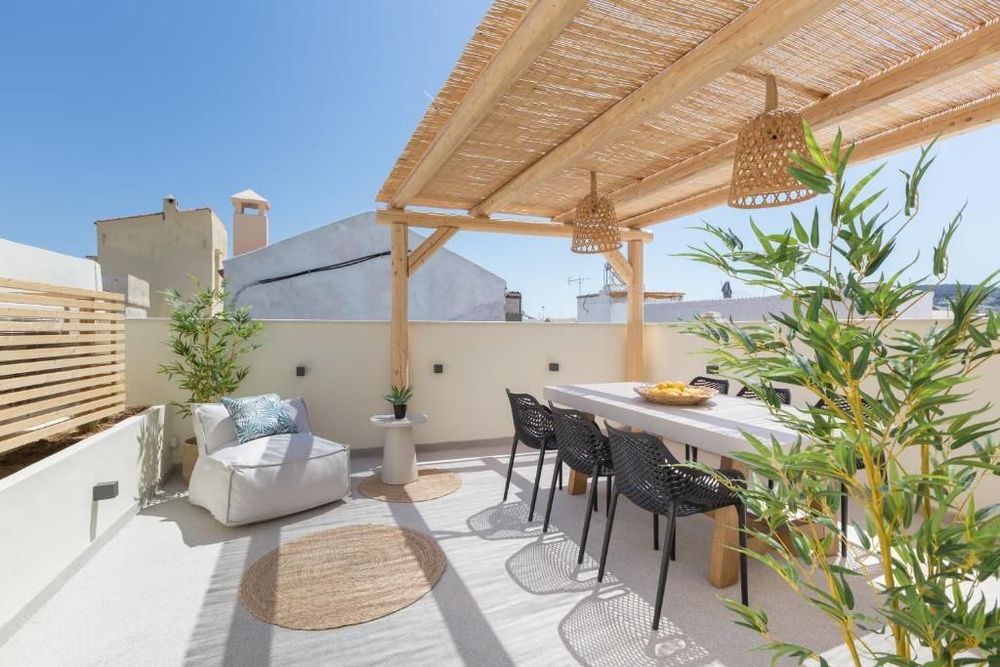
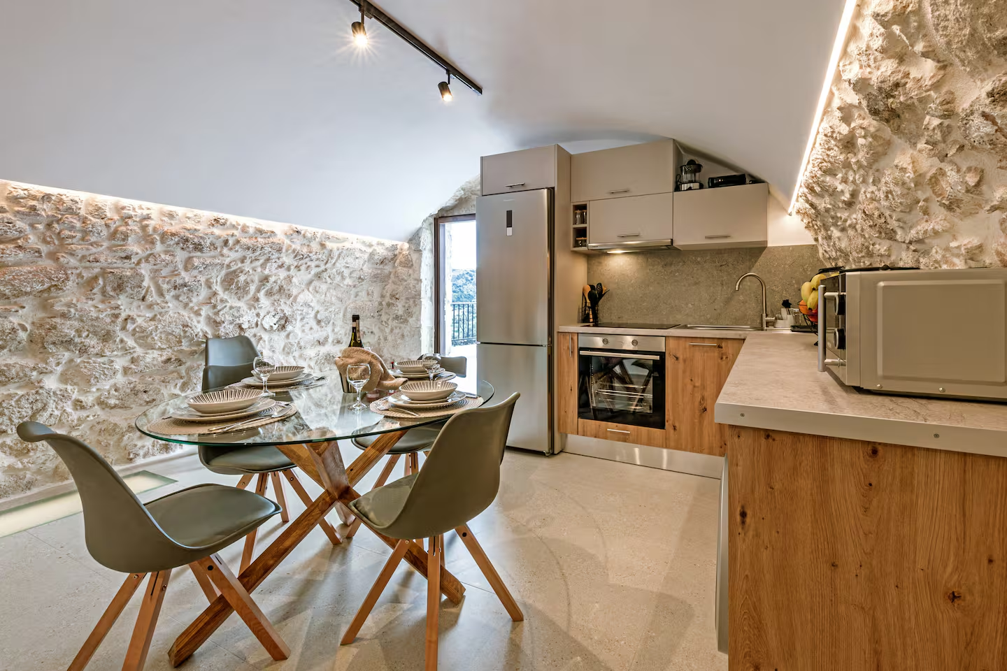
"Villa Kotsifi Stays"
In the heart of the Old Town, history meets modern comfort, with direct access to sightseeing, gastronomy and the sea, offering an authentic, elegant accommodation experience that makes you feel like a local.
"Villa Caelum"
Unified design and direct contact with the pool, for an experience of discreet luxury and relaxation.
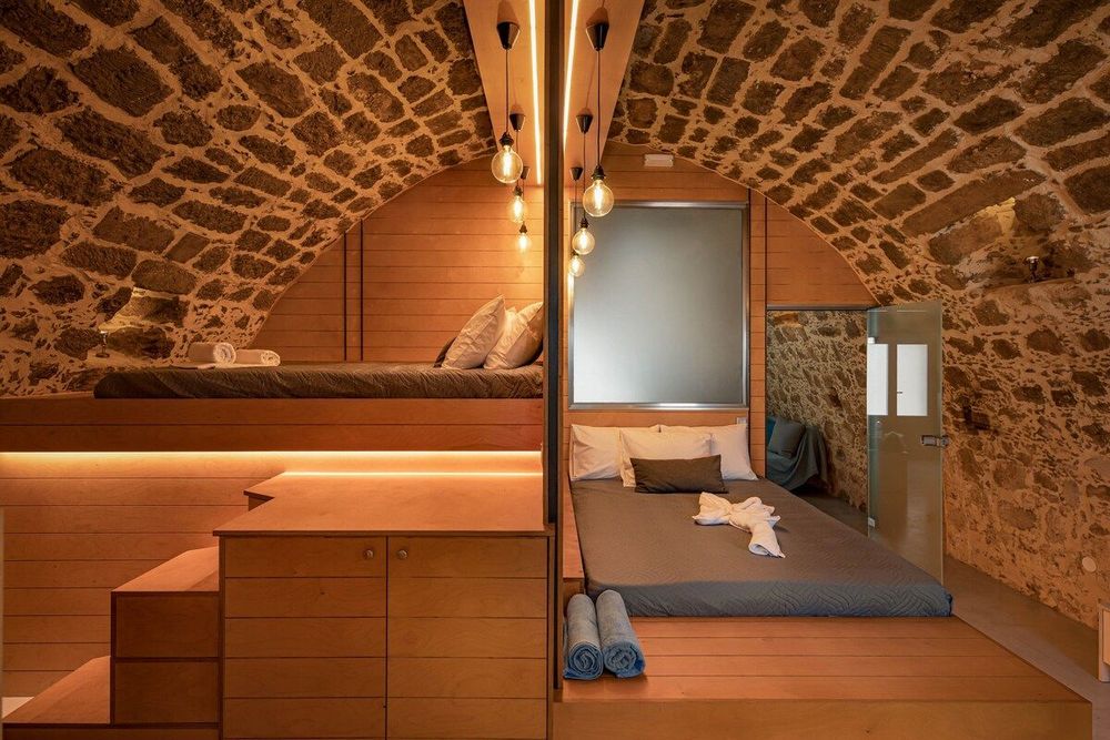
"Twin's House.1"
In the heart of the traditional village of Gerani, an authentic stone house invites you to experience the place as the locals do. A haven of tranquility, companionship and authentic Cretan hospitality
Aegean Sunset Villas & Spa "Villa Sky"
A unique accommodation experience that combines traditional aesthetics and modern luxury, with absolute privacy and outdoor spaces ideal for quality relaxation.

Aegean Sunset Villas & Spa "Villa Sun"
A sophisticated haven of tranquility in a traditional setting, with unobstructed views of nature and the magnificent sunset
"Twin's House2 & Pool"
To live the experience of staying in an authentic traditional house that has been brought back to life. A place where history meets modern comfort, in a genuine settlement.
Learn more about us
We are a design and construction company offering comprehensive solutions, from initial design to final implementation. With an emphasis on quality, functionality, and proper organization, we create projects that meet the needs and expectations of our customers.
Meet our team